Rail Station
-
PKP Puławy. 2026
Puławy 2026-07-22 Puławy Railway Station. The City of Puławy. The city of Puławy was founded at the beginning of the 16th century, making it a relatively young city. The city is best known for its chemical factory, Zakłady Azotowe Puławy SA, and the beautiful Czartoryski Palace with its adjacent park. The city of Puławy is…
-
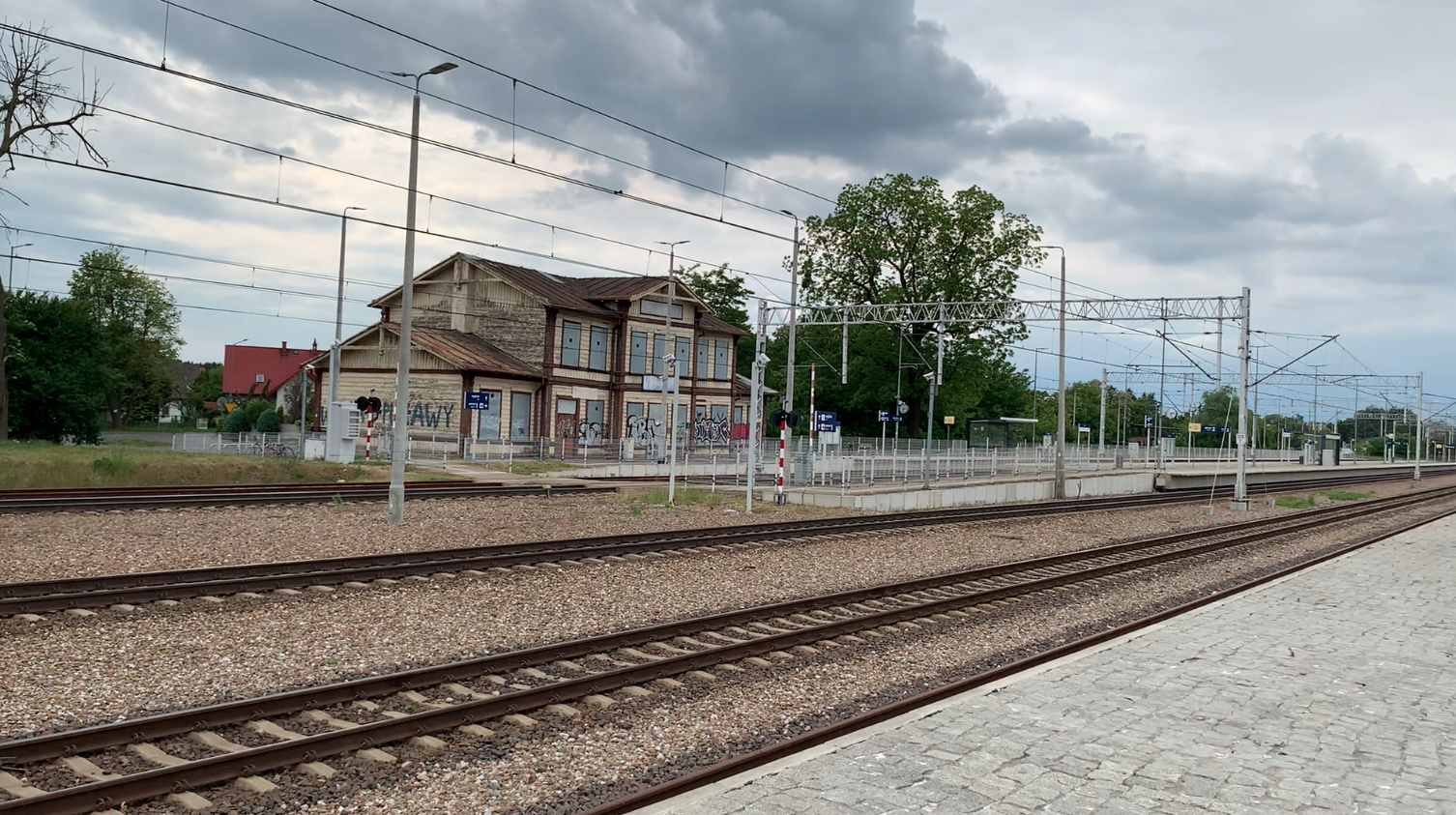
PKP Sandomierz. 2026
Sandomierz 2026-07-02 City of Sandomierz Sandomierz is a city in Poland, in the Świętokrzyskie Voivodeship, in Sandomierz County. The city has both city and commune rights. The city area is 28.69 square kilometers. In 2022, the city’s population was 21,586. Vehicle license plates are TSA. The city lies on the Vistula River, with its historical…
-
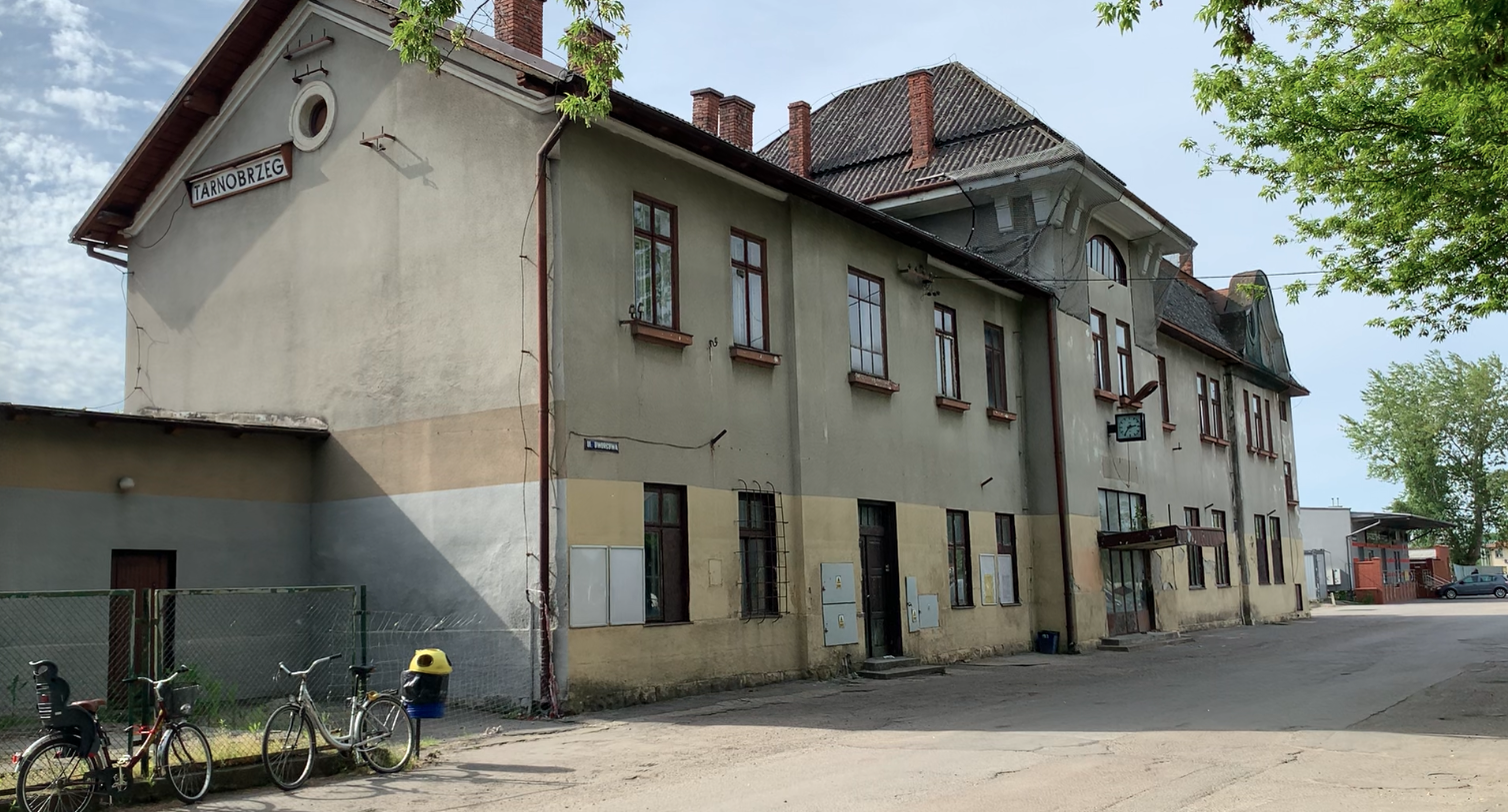
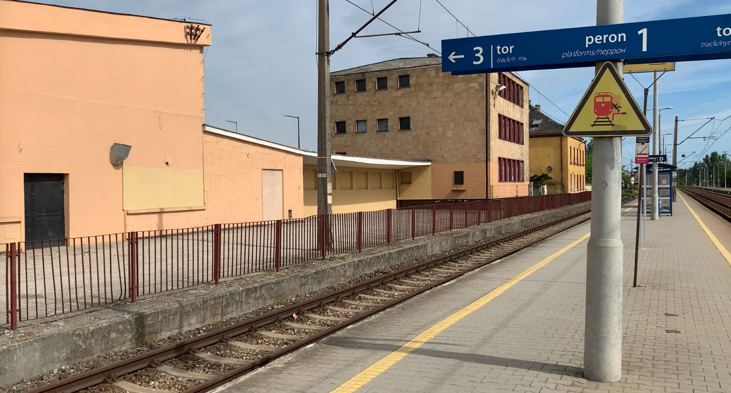
PKP Tarnobrzeg. 2026
Tarnobrzeg 2026-06-30 City of Tarnobrzeg. Tarnobrzeg is a city in Poland, in the Podkarpackie Voivodeship, with county rights. It was founded in 1593 and received city rights before 1681. The city is very large in terms of area, covering 85.4 square kilometers. The distance from the southern to the northern city limits is approximately 20…
-
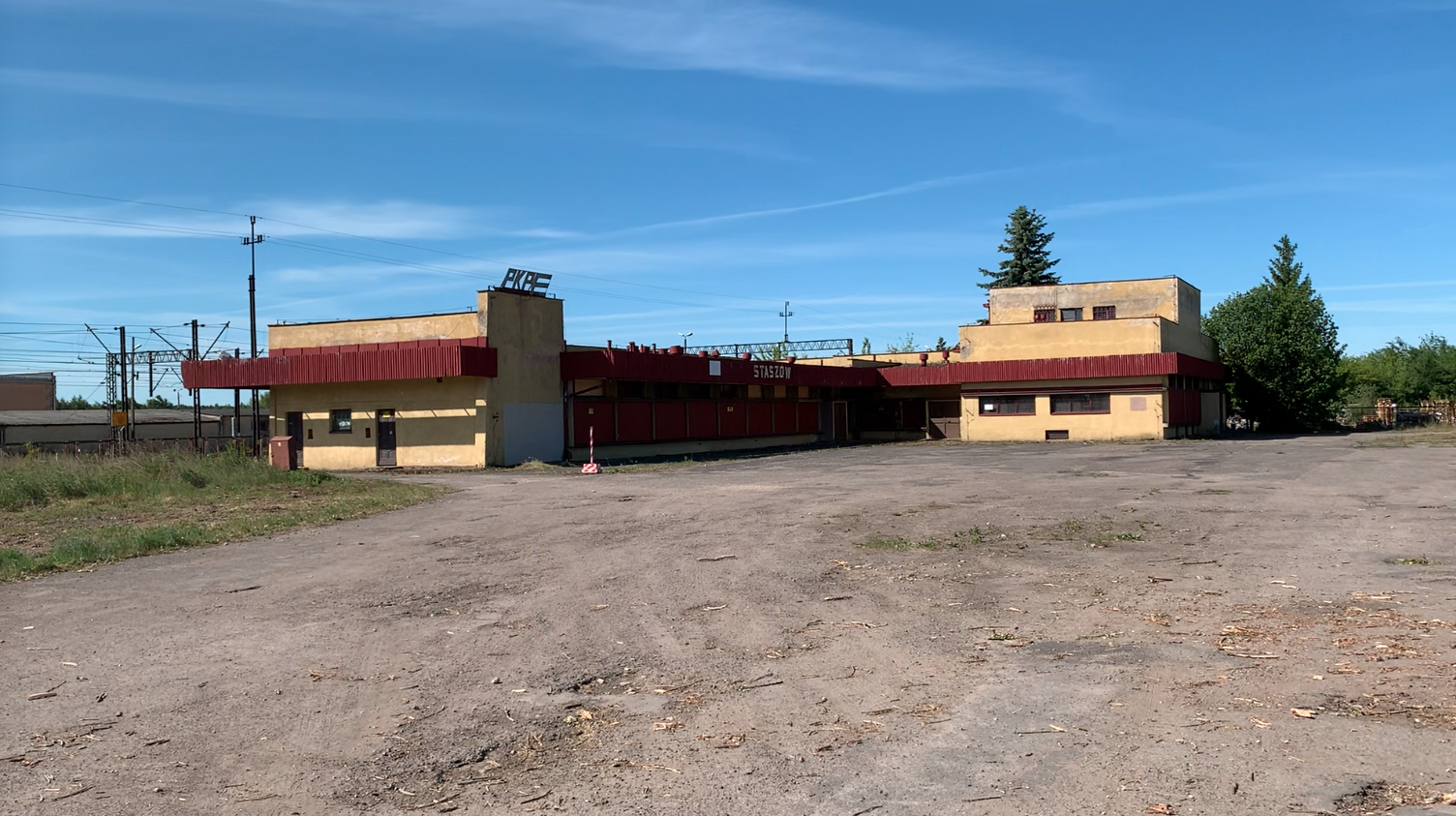
PKP Staszów. 2026
Staszów 2026-06-23 Staszów Railway Station. Geographic coordinates: 50.550N 21.156E. Elevation 194 m. Address: Krakowska Street 45C, 28-200 Staszów. Staszów is a town located in southeastern Poland, in the Świętokrzyskie Voivodeship, and is the seat of Staszów County and the Staszów Municipality. The Czarna Staszowska and Desta rivers flow through the town. The first mention of…
-
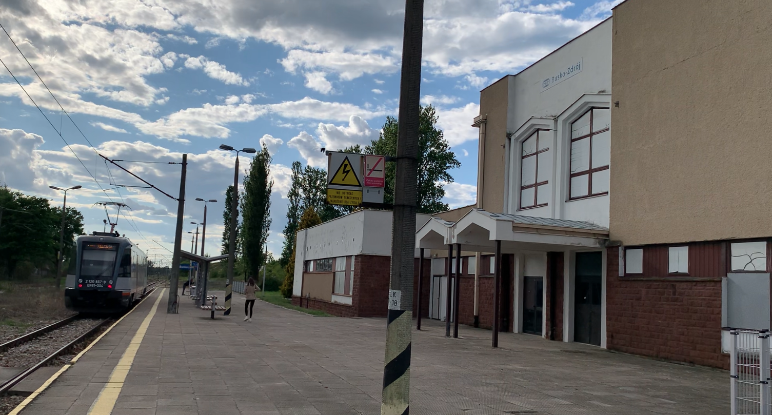
Busko Zdrój. 2026
Busko Zdrój 2026-06-23 Busko Zdrój. Busko-Zdrój is a town in Poland, located in the Świętokrzyskie Voivodeship, Busko County, and Busko-Zdrój Commune. The town had city rights from 1287 to 1870. In 1916, it was re-granted city rights. Currently, the town has an area of 12.28 square kilometers. The population is 14,469, as of 2023. Vehicle…
-
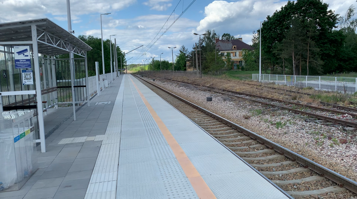
Stawiany Pińczowskie. 2026
Pińczów 2026-06-11 Stawiany Pińczowskie. Stawiany Pińczowskie is currently (2026) an operational railway passenger stop, with a second through track and a siding track in operation. Previously, it was a railway station in Stawiany, Kije commune, Pińczów County, Świętokrzyskie Voivodeship. A now-dismantled standard-gauge railway line branched off from the station, leading to Pińczów Towarowy station. Adjacent…
-
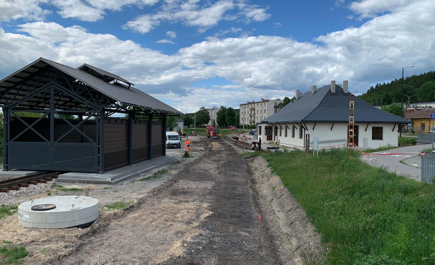
PKP Pińczów. Świętokrzyska Commuter Railway. 2026.
Pińczów 2026-06-20 PKP Pińczów. Świętokrzyska Commuter Railway. Świętokrzyskie Narrow-Gauge Railway, Ponidzie, Dojazd 1/3 Street, 28-300 Jędrzejów. City of Pińczów. Pińczów is a city with urban-rural commune status. It is located in the Świętokrzyskie Voivodeship, in Pińczów County. The settlement received city rights in 1428. The town has an area of 14.33 square kilometers. The town…
-
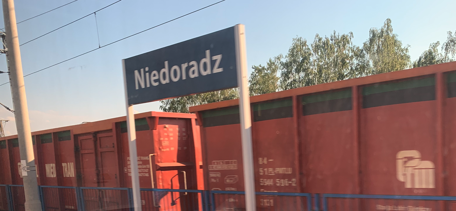
PKP Niedoradz near Zielona Góra. 2026
Niedoradz 2026-05-27 Niedoradz railway station. Address: Dworcowa 2, 67-106 Niedoradz, Otyń commune, Lubusz Voivodeship. Geographic coordinates: 51.865N 15.664E. Elevation: 72 m. Niedoradz is a village in the Lubusz Voivodeship, Nowa Sól County, Otyń commune. In 2021, the village had 1,381 inhabitants. The most important building is the brick Roman Catholic Church of St. James, with…
-
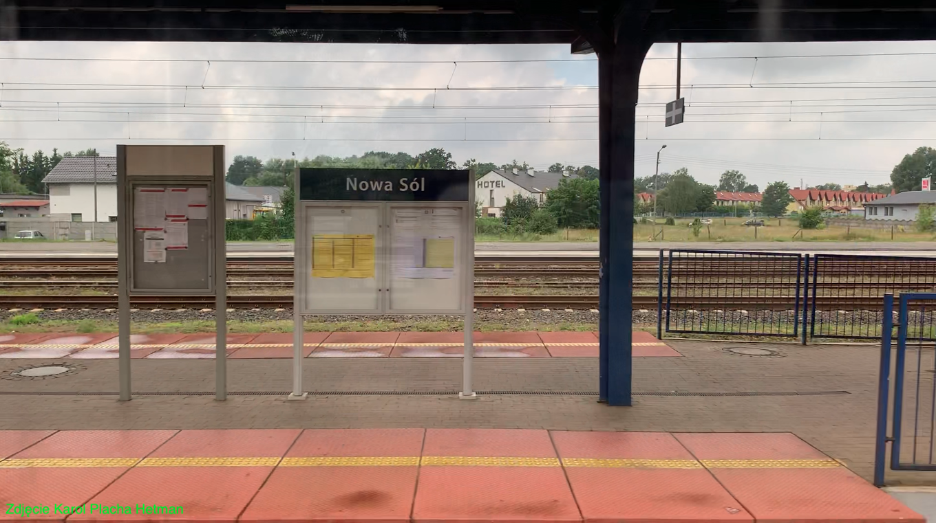
PKP Nowa Sól. 2022
Nowa Sól 2022-07-28 Nowa Sól Railway Station. Geographic coordinates 51.799N 15.709E. Elevation 66 m. Address: Nowa Sól Railway Station, Towarowa Street 2, 67-100 Nowa Sól. The City of Nowa Sól. The city of Nowa Sól was founded in the 16th century. Nowa Sól received city rights in 1743. Currently, the city has 38,566 inhabitants (as…
-
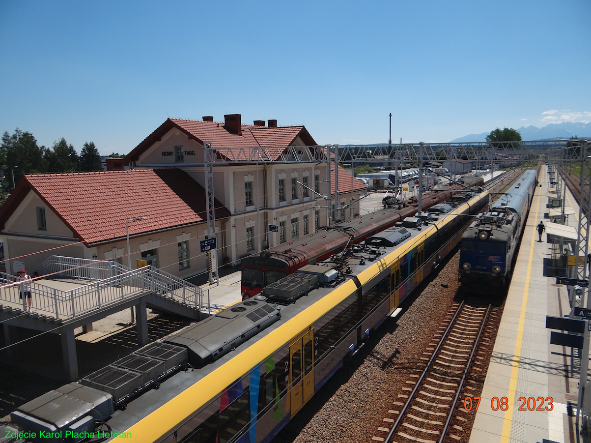
PKP Nowy Targ. 2023
Nowy Targ 2023-07-21 Nowy Targ Railway Station. Address: Kolejowa Street 164, 34-400 Nowy Targ. Coordinates: 49.473N 20.015E. Elevation: 601 m. History of Nowy Targ. The beginnings of settlement in Podhale date back to the 13th century. Cistercians arrived from Jędrzejów and founded a monastery in Ludźmierz. They were granted the right to establish new settlements…