Rail Station
-
PKP Płock. 2022
Płock 2022-12-06 Płock Railway Station. Płock is a Polish city with a 1,000-year history and was also the capital of Poland. Płock is a large city in central Poland, currently a county. The city is located in the Dobrzyń Lake District, in the Płock Valley, on the Vistula River, in the Masovian Voivodeship. Fighter pilot…
-
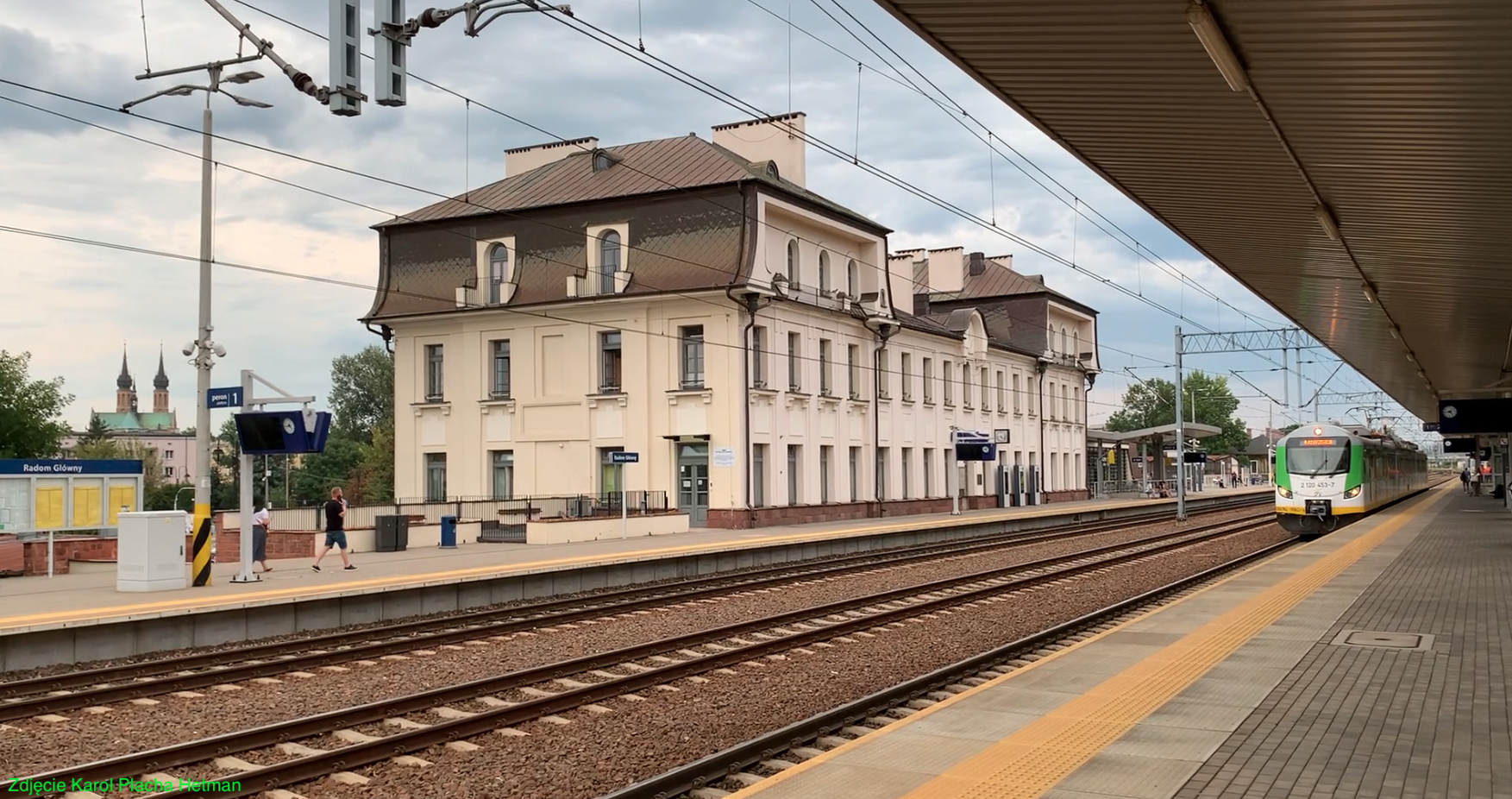
PKP Radom Główny. 2023
Radom 2023-09-06 Radom Main Railway Station. Geographic coordinates: 51.391N 21.155E. Elevation 166 m above sea level. Radom Główny is a railway station located in Radom. The station was opened on January 25, 1885, when Poland was under partition. Radom was then in the Kingdom of Poland, which was completely dependent on the Muscovite state. Currently,…
-
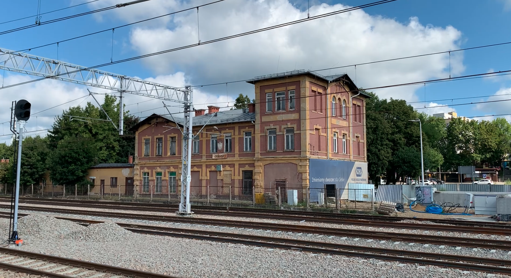
PKP Olkusz. 2025
Olkusz 2025-08-08 The city of Olkusz. The city of Olkusz is located in the Lesser Poland Voivodeship. It is the seat of the district and commune. It obtained city rights in 1299. The city has an area of 25.65 km². The city’s population was 32,048 in 2024. Olkusz historically belongs to the Kraków Region. It…
-
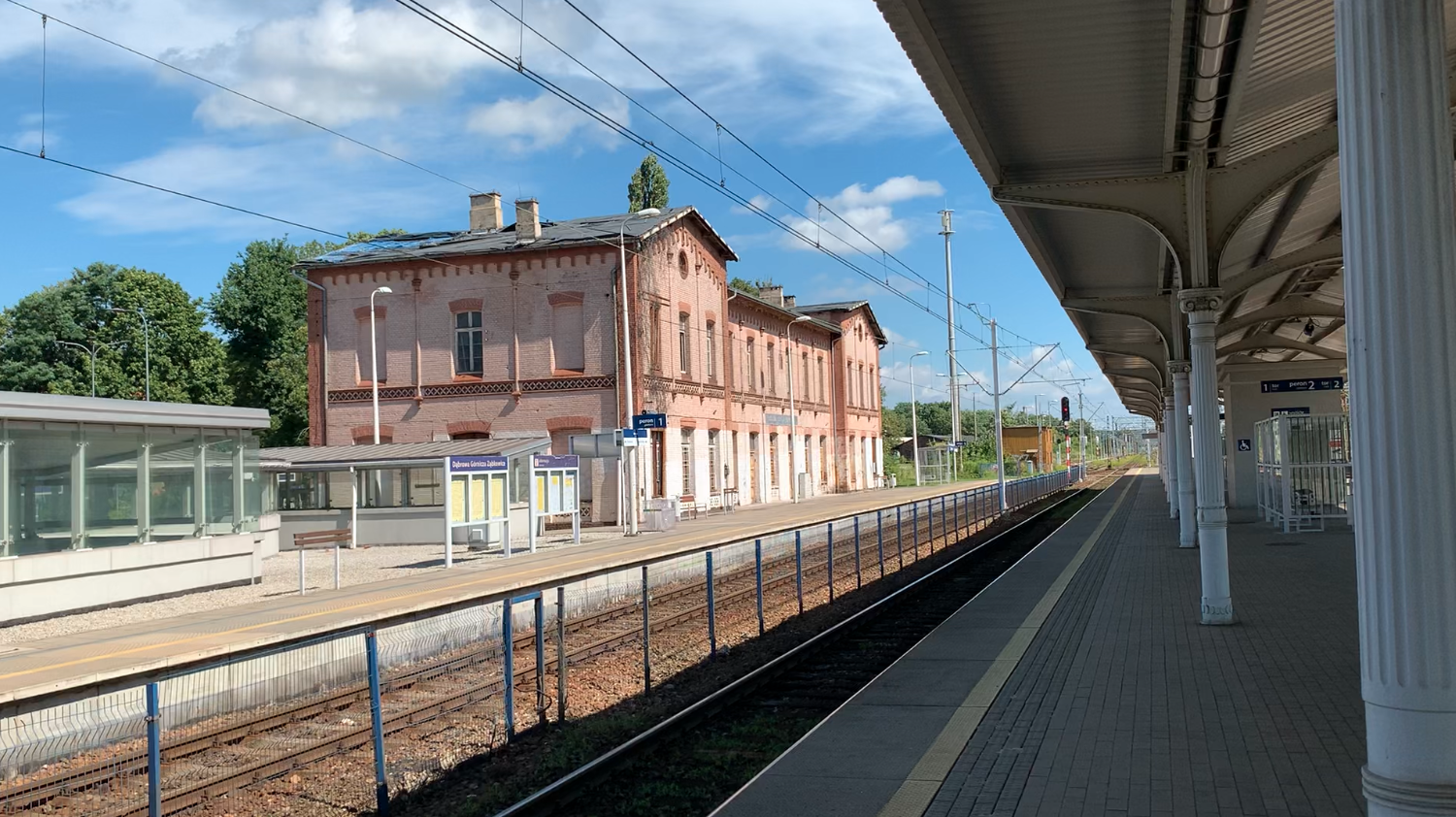
PKP Dąbrowa Górnicza Ząbkowice. 2025
Dąbrowa Górnicza Ząbkowice 2025-08-06 Dąbrowa Górnicza Ząbkowice railway station. Dąbrowa Górnicza. Dąbrowa Górnicza is a city in Poland, in the Silesian Voivodeship, with county rights. The town received city rights in 1916. Currently (2024), the city has a population of 112,876. The city’s elevation ranges from 258 to 390 meters. Its area is 188.73 km²,…
-
PKP Częstochowa Stradom. 2025
Częstochowa 2025-08-04 Częstochowa Stradom Railway Station. Geographic coordinates: 50.797N 19.107E. Elevation 249 m. Address: 100/120 Generała Kazimierza Pułaskiego Street, 42-200 Częstochowa. PKP Częstochowa Stradom. Częstochowa Stradom is the second major station in Częstochowa, also serving a significant passenger traffic. The current station building was built in 1911, but has undergone several renovations over its history.…
-
PKP Częstochowa. 2025
Częstochowa 2025-08-02 Częstochowa Railway Station. Geographic coordinates: 50.808N 19.121E. Elevation 249 m. Address: Aleja Wolności 21/23, 42‑200 Częstochowa. City of Częstochowa. Częstochowa is a large city in Poland, located in the Silesian Voivodeship. Its current area is 159.71 square kilometers (59.71 square miles). The population is 217,530 (2020). Although located within the Silesian Voivodeship, Częstochowa…
-
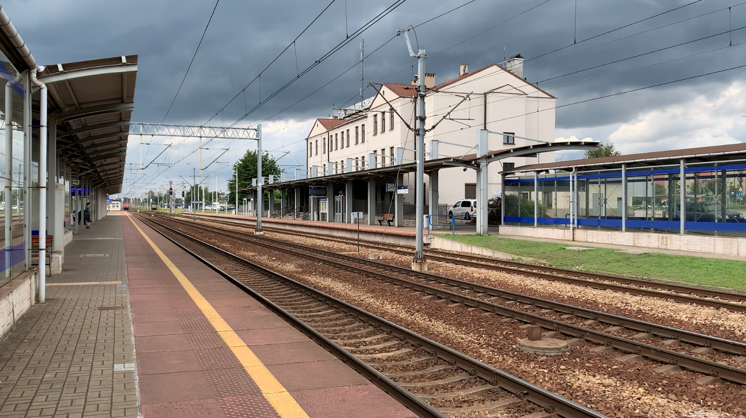
PKP Rawicz. 2022
Rawicz 2022-07-07 The city of Rawicz. Rawicz is a town in the Greater Poland Voivodeship, Poland, and the seat of the Rawicz Urban-Rural Commune. The town of Rawicz was founded in 1638. For centuries, the town was inhabited by Poles, Jews, and Germans. After the victorious Greater Poland Uprising in 1919, Rawicz found itself within…
-
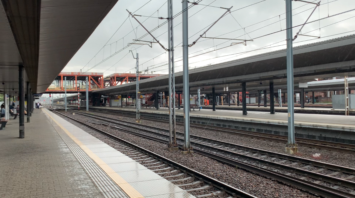
PKP Rybnik. 2023
Rybnik 2023-02-15 Rybnik Railway Station. Geographic coordinates: 50.089N 18.548E. Elevation: 245 m. Address: Dworcowa 2 Street, 44-200 Rybnik. Rybnik is a city in Poland, located in the Silesian Voivodeship. Historically, it is located in Upper Silesia. The development of the mining industry has resulted in a population of 132,923 (2021). Railway Line No. 140. On…
-
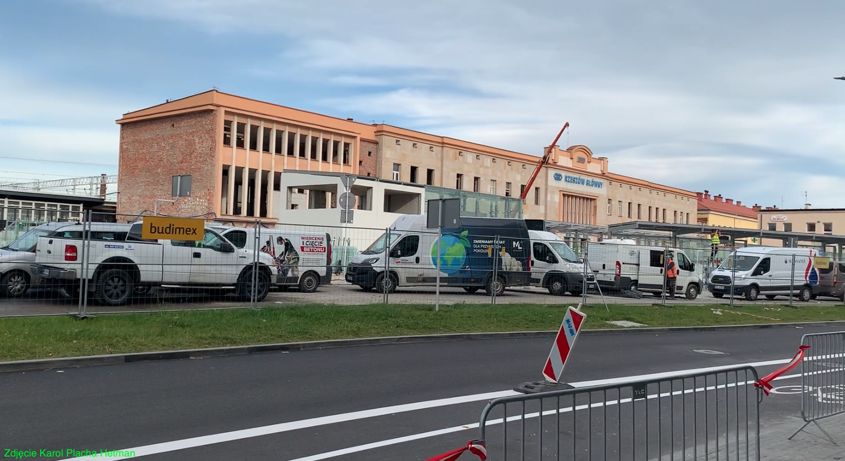
PKP Rzeszów. 2023
Rzeszów 2023-11-29 Rzeszów Główny railway station. Geographic coordinates: 50.043N 22.006E. Elevation 200 m. The station was always called Rzeszów, except during World War II, when the Germans used the name Reichshof. On December 14, 2008, the name of the station was changed to Rzeszów Główny. In 2011, the station served approximately 4,820 passengers per day.…
-
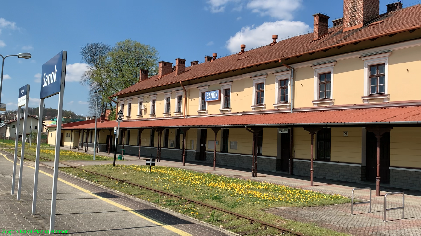
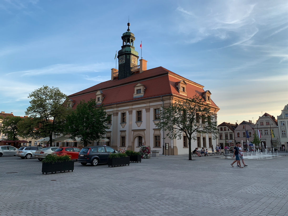
PKP Sanok. 2023
Sanok 2023-05-05 Sanok railway station. Geographic coordinates: 49.552N 22.211E. Elevation 289 m. Address: Dworcowa Street, DK No. 28. City of Sanok. Sanok is a city in Poland in the Podkarpackie Voivodeship. The area of the city is 39.09 square km. The city is one of the highest located cities in Poland and with a very…