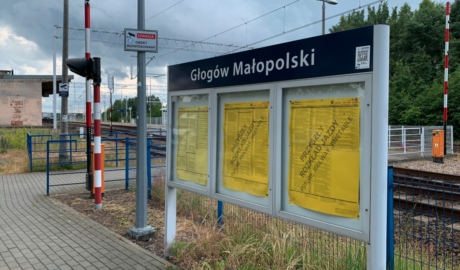
Głogów Małopolski. 2026-11-14
Głogów Małopolski.
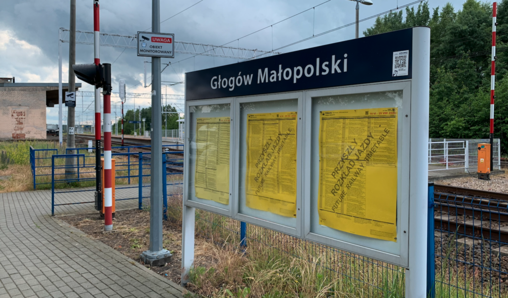
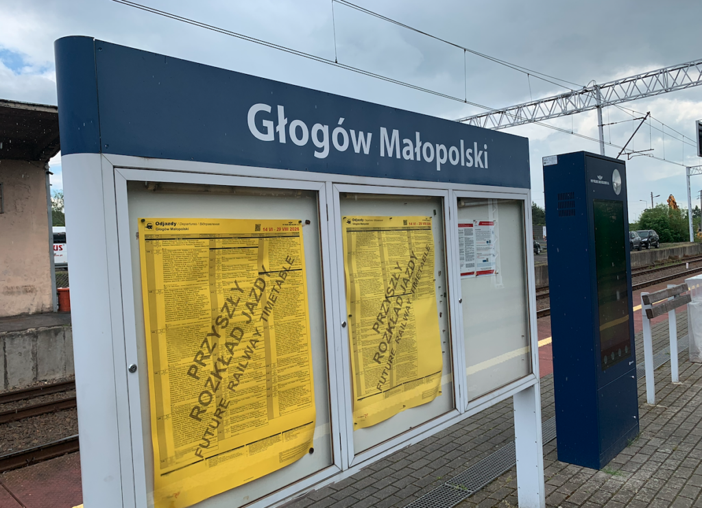
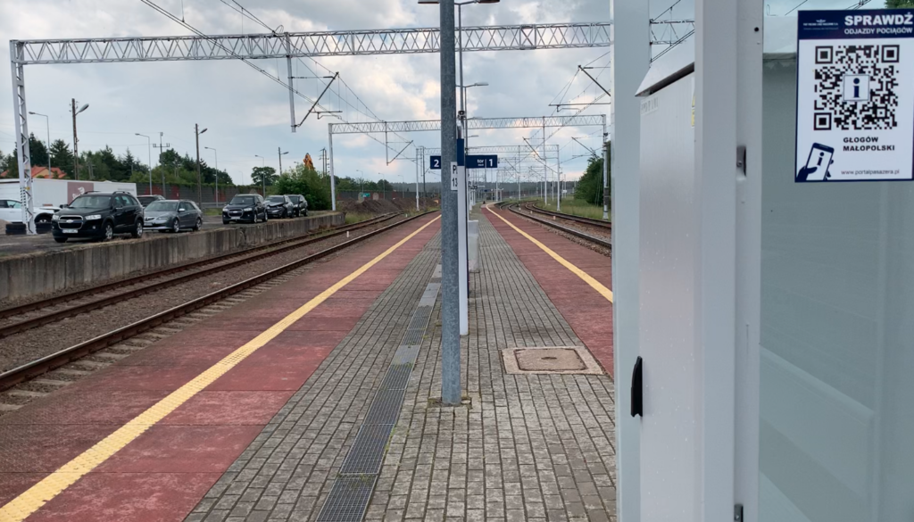
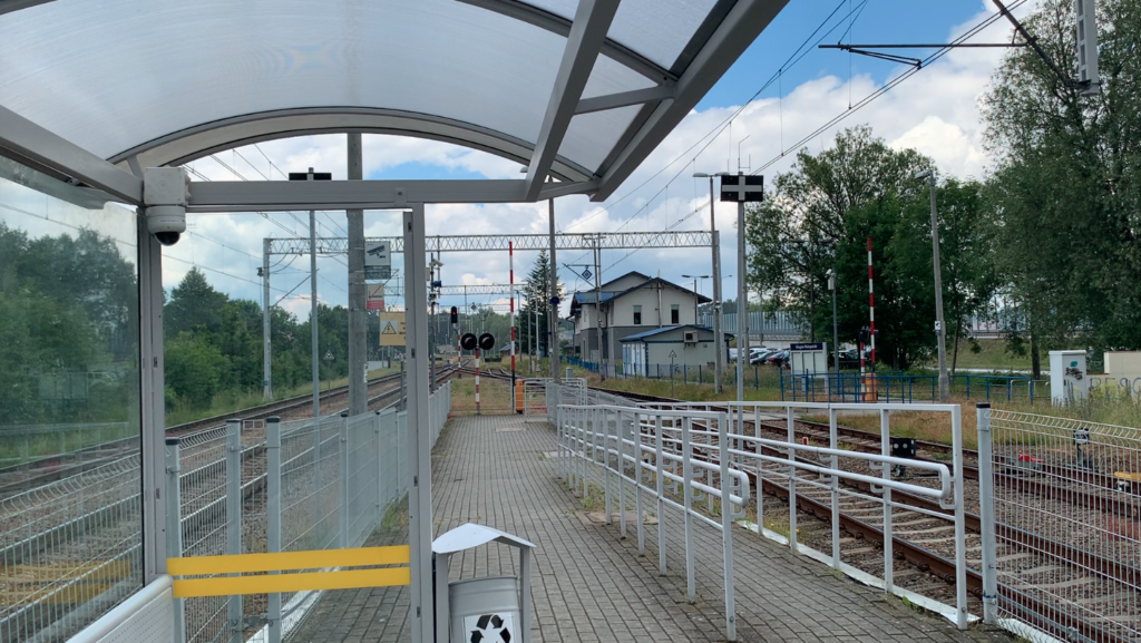
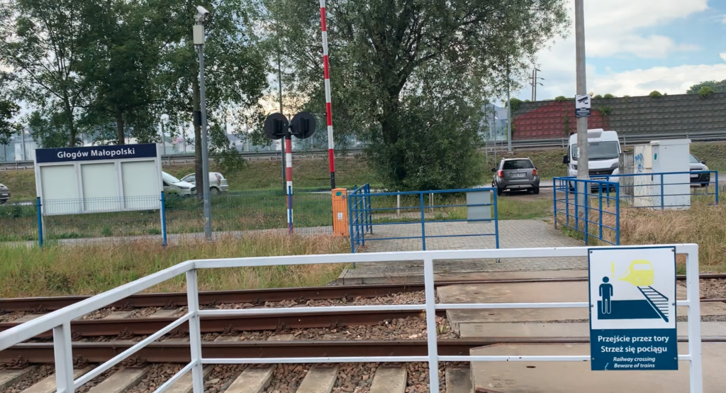
Głogów Małopolski is a historic town located in the Subcarpathian Voivodeship (Województwo Podkarpackie), in Rzeszów County, approximately 12 km north of Rzeszów. It serves as the seat of an urban-rural municipality. The town combines a rich history dating back to the 16th century and traditional small-town architecture with the forested landscapes of the Sandomierz Forest (Puszcza Sandomierska), alongside an increasingly developing economic, residential, and transport infrastructure.
Głogów Małopolski is situated in the southern part of the Sandomierz Basin, within the Subcarpathian Voivodeship. The distances from the town to other locations are as follows: Rzeszów – approximately 12 km, Kolbuszowa – approximately 20 km, Sokołów Małopolski – approximately 15 km, and Łańcut – approximately 30 km. The town enjoys a convenient location in terms of transport, thanks to National Road No. 9, the nearby A4 motorway, and a railway connection. The proximity of the Rzeszów-Jasionka Airport serves as an additional transport advantage.
The history of the town of Głogów Małopolski began in 1570, when Krzysztof Głowa of Nowosielce—who bore the Jelita coat of arms—obtained a founding charter and established a town named Głowów. Głogów Małopolski is situated in the historical region known as the Przemyśl Land (Ziemia Przemyska). Over the following centuries, the town developed as a hub for trade and craftsmanship. Until the 18th century, it grew steadily, alongside the expanding estate of the Lubomirski family. Between 1726 and 1727, a palace complex belonging to Jan Kazimierz Lubomirski was constructed. The 18th century also saw the flourishing of various crafts, including goldsmithing. The 19th century brought further development in industry and regional trade. Following the Second World War, the term “Małopolski” was added to the town’s name to distinguish it from the town of Głogów located in Lower Silesia. From 1975 to 1998, the town was administratively part of the Rzeszów Voivodeship.
The design for the town of Głogów Małopolski was bold for its time. A square market square, with sides measuring 168 meters, was laid out; within it, 40 plots were designated for the construction of single-story houses with gabled roofs. The town’s administrators also allocated space for burgher gardens, a church and rectory, a bathhouse, a hospital, a mill, a brewery, and a manorial farm. Plans called for the construction of approximately 200 houses (households) in the town. Residents were granted a 20-year exemption from taxes and levies—a relatively long period, given that the location was highly favorable for settlement, situated at the intersection of trade routes and possessing fertile soil. Inhabitants were granted the right to brew beer, produce mead, and distill spirits. The town was also granted the right to hold two annual fairs—on the feast days of Saint John the Baptist and Saint Agnes—with Tuesday established as the regular weekly market day. The town council consisted of four councilors: two elected by the residents and two appointed by the town’s owner. These councilors took turns serving as mayor, each for a one-month term. A court, composed of a *wójt* (magistrate) and seven jurors, handled minor legal matters, while significant cases were decided by the town’s owner. The owner also held the “right of the sword”—the authority to impose the death penalty.
Following the death of Krzysztof Głowa, the town passed into the hands of Mikołaj Spytek Ligęza of Bobrek (of the Półkozic coat of arms), the Castellan of Sandomierz. The new owner not only confirmed the existing privileges but also introduced new laws. A wooden parish church with a bell tower (built in 1630), an almshouse for the poor, and the first town hall—also made of wood (1636)—were constructed. Following a Tatar raid in 1624, the town was enclosed by an earthen rampart and a system of ponds. Watchtowers were built along the ramparts, each assigned to a specific craft guild. Remnants of these fortifications can still be seen today. Some of the men were trained in the use of firearms. After the death of Mikołaj Spytko Ligęza in 1637, disputes arose among local noble families; ultimately, the town came under the control of the Lubomirski family. The town was burned and looted twice: in 1657 by Rákóczi’s forces, and in 1709 by the Swedes and the Saxons. In 1706, the “Głogów State” (Państwo Głogowskie) was proclaimed. In 1725, the owners built a masonry palace on the site of the original farmstead, and a summer residence in the village of Rudna. To elevate the status of the Głogów State, Urszula Lubomirska brought in the Congregation of the Mission (Vincentians) and, in 1766, funded a church along with a retreat house. During this period, a masonry town hall was constructed, and a municipal court was established.
The second half of the 18th century was a prosperous time for Głogów. The townspeople grew wealthier, but the Partitions of the Polish-Lithuanian Commonwealth followed, and Głogów was occupied by the Austrians. A squadron of Austrian cavalry was quartered in the castle. Estates put up for sale were purchased by the occupiers. In 1803, the monastery of the Congregation of the Mission (Missionary Fathers) was set on fire. The town changed hands several times and fell into economic stagnation. In the 19th century, Głogów served as a hub primarily for the surrounding villages. It housed a district/municipal court, a tax office, a post office, a notary’s office, a pharmacy, a doctor, and a school. In 1878, a Volunteer Fire Department was established.
During the German occupation (1939–1944), the Germans murdered approximately 5,000 civilians from the town and surrounding villages. In 1944, the Germans organized a defense of the Głogów road junction in an attempt to delay the advance of the Soviets. On July 30, 1944, the Soviets captured the town.
In 1950, the town was electrified. In 1960, a railway line from Rzeszów to Głogów was constructed. In 2005, a bypass for the town—part of National Road No. 9—was opened. On April 2, 2006, the Church of Saint Joseph was consecrated.
The town’s greatest historical asset is its Renaissance urban layout. The town square is square-shaped and notable for its regular design, with streets extending from its frontages. It stands as one of the most compelling examples of Renaissance town planning in Poland. The most significant historical monument is the parish Church of the Holy Trinity, built between 1876 and 1879. In the center of the square stands an 18th-century town hall, alongside statues of the Virgin Mary and Saint Florian. There is also a monument commemorating King John III Sobieski, the victor of the Battle of Vienna. In Głogów Małopolski, one can also find the remains of a former monastery complex belonging to the Congregation of the Mission (Missionaries).
One of the most intriguing chapters in the history of Głogów Małopolski concerns the activities of the Lubomirski family. Between 1726 and 1727, a palace complex was established here, associated with Jan Kazimierz Lubomirski and his wife, Urszula (née Branicka). The former palace underwent numerous reconstructions and changes in function, and it has not retained its original splendor. All that remains of the former park grounds is the municipal park, Grabina, which serves as a place for residents to walk and relax.
Nature and recreational areas are among the greatest assets of Głogów Małopolski. The town’s surroundings are rich in forests, bodies of water, and walking trails. The “Bór” Nature Reserve is a large forest complex, part of the Sandomierz Forest (Puszcza Sandomierska); established in 1996, it covers 369 hectares. Czarny Staw (“Black Pond”) is a body of water on the outskirts of the town, surrounded by forests and serving as a spot for relaxation and recreation. The Głogów Forests (Lasy Głogowskie) are extensive wooded areas ideal for walking, cycling, and nature observation.
Głogów Małopolski is a rapidly developing residential hub near Rzeszów. As of April 2025, the town had a population of 9,187, while the entire municipality (gmina) had 19,692 residents. Its proximity to Rzeszów makes it an attractive choice for people who work in the regional capital but prefer a quieter place to live. The municipality also includes the following localities: Wysoka Głogowska, Budy Głogowskie, Przewrotne, Pogwizdów Stary, Pogwizdów Nowy, Hucisko, Rogoźnica, Wola Cicha, Rudna Mała, Lipie, Zabajka, and Styków.
Administratively, Głogów Małopolski is a town within an urban-rural municipality. The town covers an area of 38.20 square kilometers. By 2026, the town’s population had grown to 11,201. The postal code is 36-060, and vehicle registration plates bear the code “RZE.”
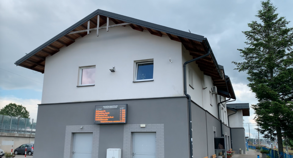
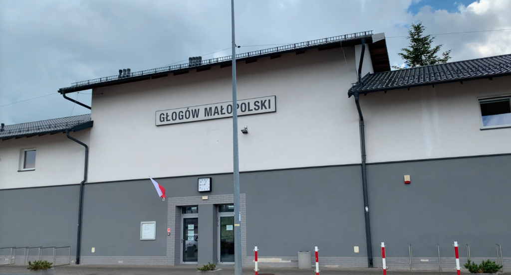
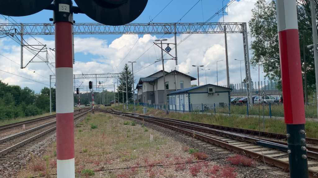
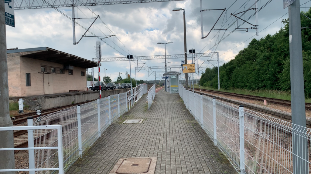
Głogów Małopolski railway station.
The railway station was established in 1960 as part of the construction of the Rzeszów–Głogów Małopolski railway line. Its ceremonial opening took place on July 22, 1960—a date that, alongside May 1st, served as a major communist holiday.
In 2000, passenger services were suspended. During this period, there was a systematic dismantling of rail connections, the closure of stations and stops, and the abandonment of entire railway lines.
Passenger service was resumed on March 1, 2007, initially operating between the Rzeszów and Kolbuszowa stations.
In 2010, the station underwent modernization: the track layout was reconfigured, and a new, high-level platform was constructed.
In 2018, another major, comprehensive modernization project began, involving the expansion of the existing station building and the addition of bus infrastructure to create an integrated transport hub.
Currently (as of 2026), the daily passenger volume exceeds 300. On November 14, 2026, 19 passenger trains departed from the Głogów Małopolski station, offering connections to destinations including Kolbuszowa, Lublin Główny, Rzeszów Główny, Stalowa Wola Południe, and Stalowa Wola Rozwadów. The service is operated by PolRegio (Rzeszów branch).
The Głogów Małopolski station features one main track, two auxiliary main tracks, and one freight/loading track. Station operations are controlled from the Kolbuszowa Local Control Center (LCS). Together with the Głogów Małopolski Niwa and Głogów Małopolski Południowy stops, it serves passenger traffic in the region.
Railway Line No. 71: Ocice – Rzeszów Główny.
Railway Line No. 71 (Ocice – Rzeszów Główny) effectively connects Tarnobrzeg with Rzeszów. The line spans 67.374 km and runs along a north-south axis. The line was built with a standard rail gauge. It is a single-track line and has been electrified (as of 2021) using a 3 kV DC system. The maximum train speed is 120 km/h.
History of Railway Line No. 71.
The construction of this line was a long and arduous process. It was intended to connect the Kraków–Lviv railway line with Sandomierz. At the same time, work had already begun on the Lublin–Sandomierz–Tarnobrzeg line. Plans to build a railway through the Sandomierz Basin date back to the era when Poland was under Austro-Hungarian rule; the entire proposed route was to lie within the territory of Galicia, and the initiative had the support of the government in Vienna. However, the route had not even been mapped out at that stage, leading to a dispute between the authorities of Dębica and Rzeszów, both of which claimed that the new line should begin in their respective city. The outbreak of the First World War in 1914 made it impossible to commence construction. The plans were revisited during the Second Polish Republic, in connection with the development of the Central Industrial District (COP). On August 5, 1919, an act passed on July 19, 1919, regarding the construction of the Rzeszów–Sandomierz line, came into effect. The planned route was to pass through Kolbuszowa, Tarnobrzeg, and Sobolów—which is how it was ultimately constructed.
In 1938, the section between Ocice and Dęba Rozalin was opened. Further development was halted by the Second World War, but construction resumed after the end of hostilities. The section between Rzeszów and Kolbuszowa was opened between 1960 and 1964. In 1971, the section between Dęba Rozalin and Kolbuszowa was completed, thereby finalizing the entire line. Railway traffic consisted primarily of freight transport, with a large proportion accounted for by military trains. There were also passenger trains, but due to the lack of electrification, these were hauled by steam locomotives—and, from 1972 onwards, by diesel locomotives as well. Maintaining long-distance passenger services proved difficult, as it necessitated the changing of locomotives along the route.
From 1990 onwards, rail traffic on the line steadily declined. In 1992, express trains ceased operating on the route, and by 2000, all passenger services were suspended. In June 2001, freight traffic was also completely halted on the Dęba Rozalin – Kolbuszowa – Widełka section. These developments were linked to the dismantling of the Polish State Railways (PKP) under liberal and post-communist governments. Between 2006 and 2008, during the tenure of a right-wing government, attempts were made to restore rail traffic. Efforts began with clearing the tracks of self-seeded vegetation, shrubs, and grass; additionally, turnouts, signaling systems, and level crossings were renovated.
On March 1, 2007, passenger services were resumed on the Rzeszów – Kolbuszowa section. From December 13, 2009, the line began hosting passenger trains running between Rzeszów and Stalowa Wola Rozwadów, and from December 12, 2010, services were extended to include a route from Rzeszów to Lublin—though the latter was suspended in 2013. On March 1, 2011, a long-distance connection between Zamość and Zielona Góra was launched, utilizing Railway Line No. 71. In 2014, plans were drawn up for the electrification of Railway Line No. 71; however, no tender took place, and the work never commenced. In September 2016, the construction of a new stop, Chmielów Zagumnie, was completed. Between March 2019 and May 2019, a passing loop was constructed at the Majdan Królewski stop.
Thanks to the efforts of the governing coalition in Poland—the United Right—a contract for the electrification of railway line No. 71 was signed with PKP Energetyka on November 16, 2018. The electrification process took place from September 2019 to January 2021. It was one of the most significant railway infrastructure projects in southeastern Poland. The electrification enabled the deployment of electric multiple units (EMUs) operated by the Podkarpackie Regional Railways (part of the PolRegio network, under the banner of the Podkarpackie Agglomeration Railway). On December 12, 2021, an InterCity long-distance train service between Rzeszów and Szczecin was launched, routed via line No. 71; previously, this train had run via the stations of Przeworsk and Nowa Sarzyna. This change resulted in a significant reduction in travel time. As of January 3, 2022, the Podkarpackie Agglomeration Railway was operating 16 pairs of trains daily on the route between Rzeszów Główny and Kolbuszowa.
Route of Railway Line No. 71.
Ocice station (0.00 km, elevation 153 m). This is the starting point of Railway Line No. 71, which branches off from Railway Line No. 25 (Łódź Kaliska – Dębica).
Chmielów Zagumnie passenger stop (0.49 km, elevation 153 m). The line crosses the Mokrzyszówka and Trześniówka rivers. For a short stretch, the line runs in a south-easterly direction.
Cygany, a former junction point (1.55 km, elevation 152 m) for Railway Line No. 71a. The junction was located near the bridge over the Trześniówka River. A line branched off here in a north-easterly direction toward the Jeziórko and Olendry stations; this line was formerly designated as No. 932. All that remains is the old track bed, now overgrown with self-seeded vegetation. The track layout once allowed for rail access to Grębów station via Railway Line No. 84. The Olendry station was built in the 1970s to serve the “Siarkopol” sulfur mine and processing plant, facilitating the transport of sulfur extracted at the nearby Jeziórko site. The junction station at Olendry connected to the station at Grębów and a junction point at Furmany. In the 1980s, a heating plant was constructed about a kilometer from the station, with a dedicated siding built to transport hard coal. The Olendry heating plant supplied heat to the residents of Tarnobrzeg for nearly 20 years before closing in 2001. The Olendry station was permanently shut down in 2008, following the closure of the sulfur mines; all rail traffic at the station ceased. As of 2025, the site remains abandoned.
Cygany passenger stop (2.09 km, elevation 152 m). The stop is located next to a level crossing on the main street, Targowa. In 2011, the village of Cygany had a population of 1,086. Further along, the line crosses local roads at two points.
Jadachy passenger stop (5.47 km, elevation 154 m). The stop is situated near the settlement of Kozielec. Adjacent to the stop is a level crossing on National Road 9 (DK 9). National Road 9 runs alongside the railway line all the way to Rzeszów. Beyond this stop, the line enters the Sandomierz Forest (Puszcza Sandomierska).
Tarnowska Wola passenger stop (10.01 km, elevation 157 m). The passenger stop is located near an intersection with a local road. In 2011, the village of Tarnowska Wola had 861 inhabitants.
Dęba Rozalin passenger stop (12.68 km, elevation 166 m). The station was established in 1938 and closed in 2000. A passenger stop was opened at this location in 2009. The stop is situated near Dęba, which is part of the town of Nowa Dęba. Before the stop lies a large freight station, which currently features four through-tracks, all of which are electrified. The station has served—and continues to serve—as a junction for various railway sidings. There was once a siding leading to a sawmill, as well as one for the DEZAMET metalworks plant. A siding also exists for a military ramp, which serves the adjacent military training ground.
Nowa Dęba passenger stop (14.18 km, elevation 182 m). The stop was opened in 1971, closed in 2000, and reopened in 2009. It is located in a forest between the town of Nowa Dęba and the “Euro-Park Wisłosan” subzone in Nowa Dęba. Further along, the line crosses the Koniecpółka River and subsequently passes beneath the Broad-Gauge Metallurgy Line (Linia Hutniczo-Szerokotorowa).
Huta Komorowska passenger stop (18.29 km, elevation 200 m). Next to the stop is an intersection with provincial road (DW) No. 872. The stop was opened in 2017. In 2021, the village of Huta Komorowska had 1,390 inhabitants.
Majdan Królewski passenger stop (19.80 km, elevation 204 m). The stop was established in 1971 as a passing loop. The second track was dismantled around 2005. In 2009, the stop was reopened with a single track. In 2019, the passing loop was restored. The stop is located near the settlement of Gubernia, which is part of the village of Majdan Królewski. In 2021, the village had 2,872 inhabitants. Further along, the line passes beneath national road (DK) No. 9 (Rzeszowska Street).
Majdan Królewski Podlasek passenger stop (22.28 km, elevation 221 m). The stop was opened in 2017, funded by the municipality. It is located at the intersection with Polesie Street. The line enters the forest once again.
Komorów Podmurynia passenger stop (23.83 km, elevation 211 m). The stop opened in 1985, closed in 2000, and reopened in 2009. It is located in the settlement of Podmurynia, near a local road intersection.
Cmolas passenger stop (31.28 km, elevation 210 m). The stop opened in 1971, closed in 2000, and reopened in 2009. It is situated at the intersection with Lasowiacka Street. As of 2020, the village of Cmolas had a population of 3,064. Further along, the line crosses the Przyrwa River.
Zarębki passenger stop (33.62 km, elevation 200 m). The stop opened in 1971, closed in 2000, and reopened in 2009. It is located at an intersection with a local road. Zarębki is a linear village (street village) which, in 2020, had a population of 896. Further on, the line crosses Tarnobrzeska Street. It then passes beneath provincial road (DW) No. 875, and shortly thereafter, there is an intersection with Tyszkiewiczów Street.
Kolbuszowa station (36.89 km, elevation 210 m). The station opened in 1973 as a combined railway and bus terminal. It underwent reconstruction in 2009. Currently, there are 3 tracks and 2 platforms. A Local Control Centre (LCS) has been constructed. Between 2020 and 2022, the station building underwent reconstruction. On the eastern side of the station lies the “Furniture” factory (Kolbuszowska Fabryka Mebli). As of 2024, the town of Kolbuszowa had a population of 8,495.
Kolbuszowa Górna passenger stop (39.96 km, elevation 215 m). This stop was built in June 2023 and is located near an intersection with a local street.
Widełka passenger stop (45.43 km, elevation 241 m). The stop opened in 1964. Rail traffic was suspended in 2000, then resumed on the Rzeszów–Kolbuszowa section in 2007. In 2009, service was restored along the entire line, and the stop was relocated. In 2020, the village of Widełka had a population of 2,296. Beyond the stop, the railway line crosses over National Road No. 9 (DK 9).
Widełka Orlen fuel depot (46.75 km, elevation 238 m). All siding tracks belong to the “Orlen Metro Tank” fuel depot. Near the depot, the line crosses a local street.
Budy Głogowskie passenger stop (50.35 km, elevation 248 m). The stop opened in 1964, closed in 2000, and reopened on February 1, 2011. Before the stop, the line runs overhead, crossing above Pejzażowa Street.
Głogów Małopolski station (53.97 km, elevation 228 m). The station opened on July 22, 1960, and closed in 2000. It reopened on March 1, 2007, on the Rzeszów–Kolbuszowa line. In 2010, the station underwent modernization, resulting in one main track, two auxiliary main tracks, and one freight/loading track. In 2018, the station facility began undergoing upgrades to transform it into an intermodal transport hub. There is an intersection with 3 Maja Street in front of the station. As of 2024, the town of Głogów Małopolski had a population of 10,583.
Głogów Małopolski Niwa passenger stop (55.45 km, elevation 220 m). This stop opened on June 11, 2023, and is located near the intersection with Wola Cicha Street.
Rogoźnica koło Rzeszowa passenger stop (57.64 km, elevation 211 m). This stop opened on December 13, 2009. It is situated within the town limits of Głogów Małopolski, in the Podbór district. Further along, the line passes beneath provincial road (DW) 869, and shortly thereafter, it runs under the A4 motorway. At this point, railway line (LK) 71 meets a siding—designated as LK 626—which leads to the Głogów Małopolski Południowy and Lotnisko Jasionka (Jasionka Airport) passenger stops. Zaczernie station (60.16 km, elevation 204 m). The station opened in 1960. It was closed in 2000 and reopened on March 1, 2007. The station features two platforms and two platform edges; it serves as a passing loop. A siding leading to the airport branches off from railway line No. 71 shortly before this point, connecting to a single track. Further along, the line crosses the Mrowla River.
Rzeszów Miłocin passenger stop (62.43 km, elevation 214 m). The stop opened in 1974. It was closed in 2000 and subsequently reopened in 2009.
Rzeszów Staromieście passenger stop (km 63.90, elevation 212 m). This stop opened on June 11, 2023. It is situated at the same approximate location as the Rzeszów Baranówka passenger stop, which serves the line heading toward Kraków.
Rzeszów Zachodni passenger stop (km 65.28, elevation 208 m). This stop opened on June 9, 2019. It features two platforms and three platform edges. Railway lines (LK) No. 91 and 611 pass through here.
Rzeszów Główny station (km 66.78, elevation 203 m). The station was established on November 15, 1858. It serves railway lines (LK) No. 71, 91, and 106, and is equipped with a Local Control Center (LCS). The station has three platforms and six platform edges. Facilities include a pedestrian tunnel beneath the platforms, ticket offices, retail outlets, a railway information desk, a parking lot, access to public transport, and a taxi stand.
Railway line (LK) No. 71 allows for speeds of up to 120 km/h for passenger trains and 80 km/h for freight trains. The line includes 5 railway stations and 20 passenger stops.
Electrification.
On December 12, 2021, electric trains began operating on the electrified railway line (LK) No. 71. The project cost 67 million PLN and was financed by the state budget. The electrification of the single-track route between Ocice and Rzeszów has made it possible to expand the range of services available to passengers. The 2021/2022 timetable introduced an increased number of long-distance and regional trains on this route, including services to Stalowa Wola Południe, Warsaw, and Szczecin. Among the approximately 35 pairs of scheduled connections are suburban services between Rzeszów Główny and Kolbuszowa, which began operating in January 2022. The Intercity train from Rzeszów to Szczecin now follows a shorter, electrified route via Kolbuszowa and Tarnobrzeg, rather than the previous path through Przeworsk and Nowa Sarzyna. Furthermore, the addition of a passing loop at the Majdan Królewski stop has increased the line’s capacity.
As of May 2025, there are 14 pairs of trains operating between Rzeszów and Kolbuszowa, with a travel time of approximately 35 minutes. These services are primarily provided by the Podkarpackie branch of PolRegio. There are also two pairs of InterCity trains—the 31104 “Witos” and the 31106 “San” (both running between Przemyśl and Warszawa Wschodnia)—which complete the journey in 20 minutes. Eight pairs of trains cover the full route between Rzeszów and Tarnobrzeg, consisting of six PolRegio services and the aforementioned InterCity trains. PolRegio trains take approximately 1 hour and 25 minutes, while InterCity trains take about 48 minutes. Ticket prices range from 17 PLN (PolRegio) to 26 PLN (InterCity).
During the tenure of the United Right (Zjednoczona Prawica), a plan for the Central Communication Port (CPK) was developed. The plan included the creation of so-called “rail spokes.” For the Podkarpacie region, “Spoke No. 6” was designated. This spoke was intended to have two starting points: Krosno and Sanok, with both lines converging in Rzeszów. The route was then set to pass through Stalowa Wola, Ostrów Świętokrzyski, Radom, and Grójec, ultimately reaching the CPK hub. The line was designed to utilize some existing railway tracks, while the remainder would have to be built from scratch. Unfortunately, in 2023, an “organized criminal group” came to power and dismantled the CPK program.
Written by Karol Placha Hetman