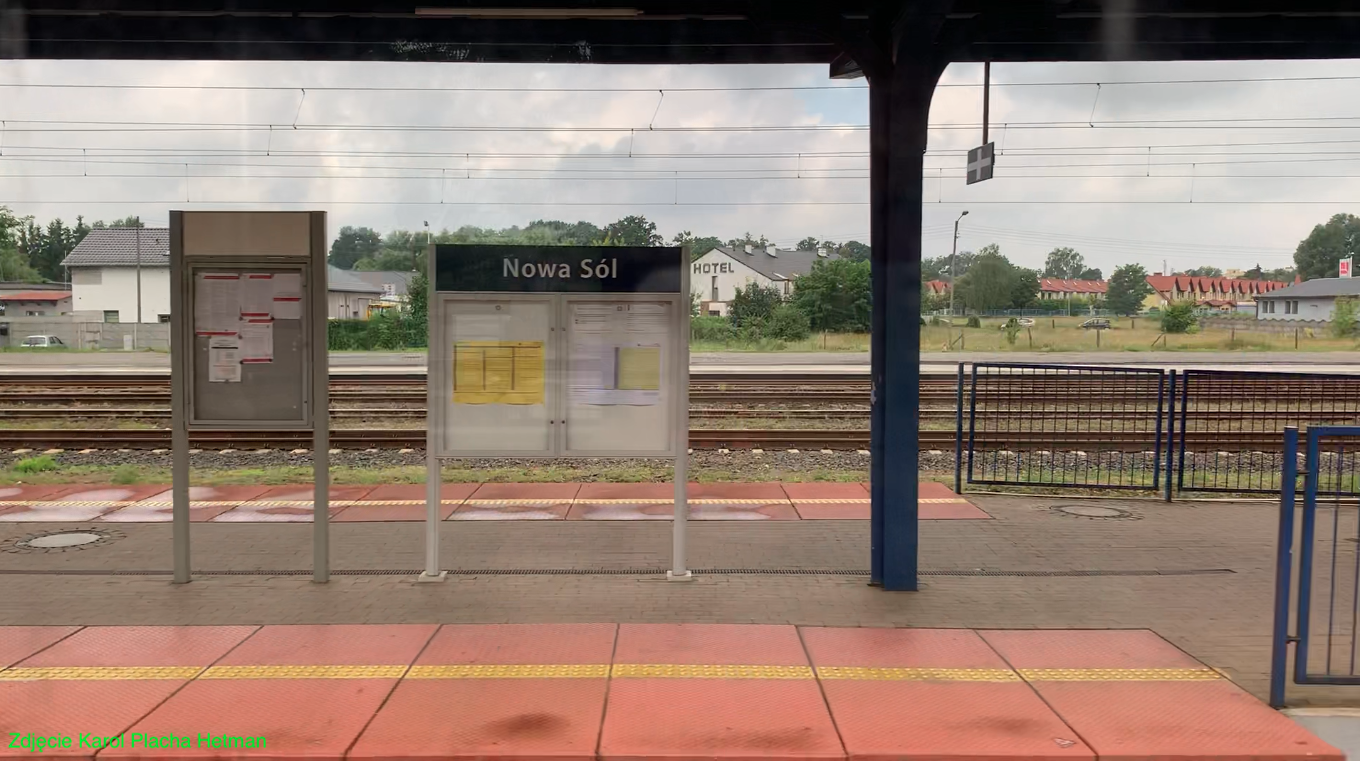
Nowa Sól 2022-07-28
Nowa Sól Railway Station.
Geographic coordinates 51.799N 15.709E. Elevation 66 m. Address: Nowa Sól Railway Station, Towarowa Street 2, 67-100 Nowa Sól.
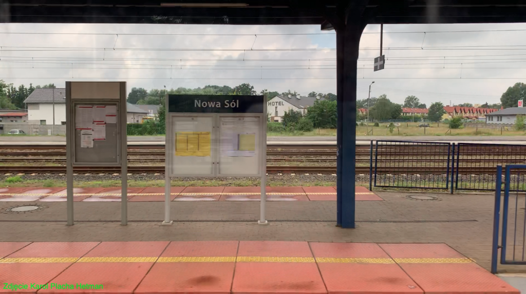
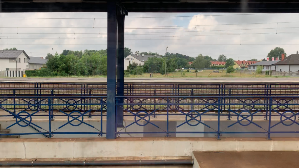
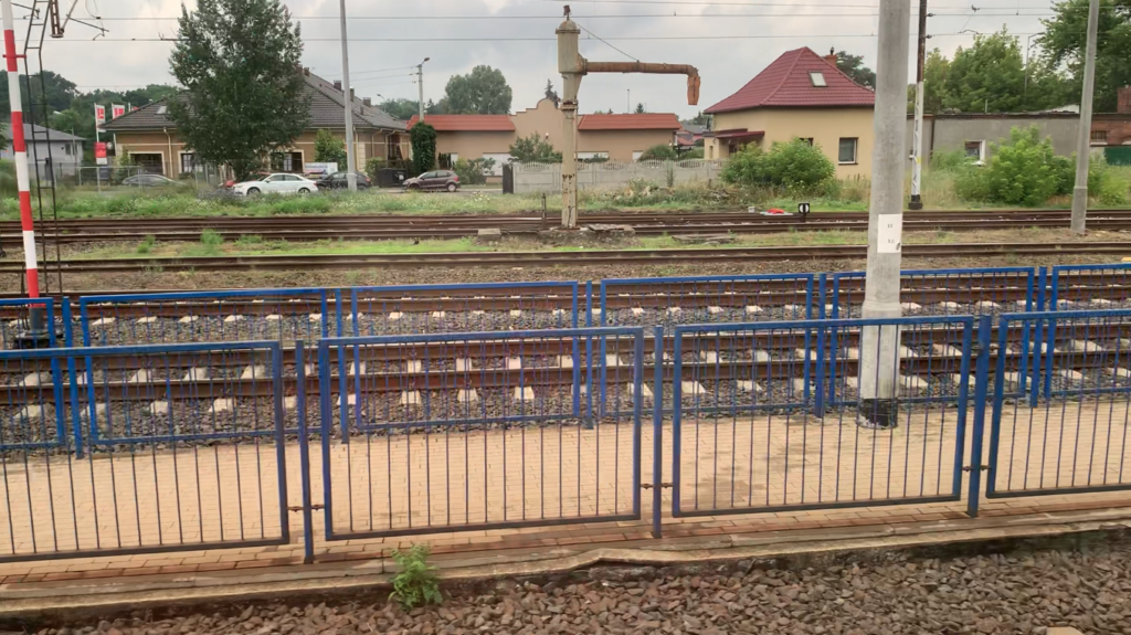
The City of Nowa Sól.
The city of Nowa Sól was founded in the 16th century. Nowa Sól received city rights in 1743. Currently, the city has 38,566 inhabitants (as of 2020) and has an area of 21.8 square kilometers. Because the foolish Germans started World War II (September 1, 1939) and lost the war, Nowa Sól became part of the Republic of Poland.
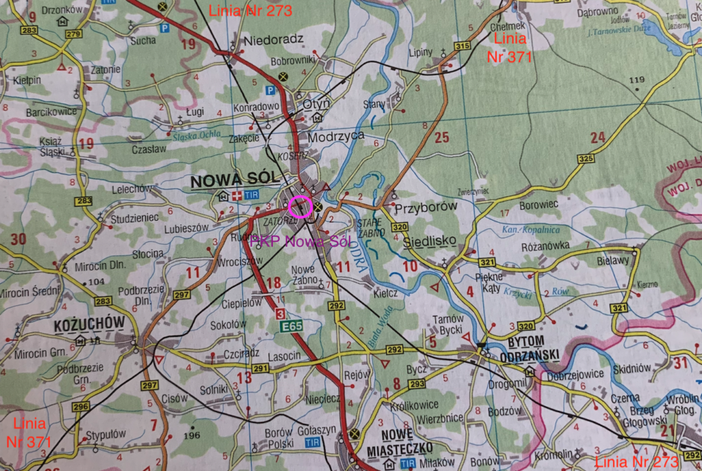
Nowa Sól lies on the left bank of the Oder River, in the Lubusz Voivodeship. Together with Zielona Góra and Sulechów, Nowa Sól forms the Lubusz Tricity. Historically, Nowa Sól lies on the northern edge of Lower Silesia. The current name, Nowa Sól, was approved on May 7, 1946. It is 24 km to Zielona Góra, 43 km to Sulechów, 36 km to Głogów, 121 km to Poznań, 430 km to Warsaw.
From 1945 to 2000, Nowa Sól was an important industrial center. The Odra Linen Industry Plant, the Dozamet Lower Silesian Metallurgical Plant, food processing plants, the Municipal Brewery, and several other smaller enterprises operated there. Until 1993, Soviet soldiers roamed the town, maintaining their headquarters and occupying the residential district. After the crisis of the 1990s, the town was reborn, and many new businesses were established. These businesses operate in the construction, metal, machinery, electrical engineering, food, automotive, and electronics sectors.
Rail Transport.
The development of rail transport in Nowa Sól dates back to 1871, when a section of the Wrocław-Szczecin route, commonly known as the “Nadodrzanka” or sometimes “Odrzanka,” was opened from Głogów to Zielona Góra. The railway line fueled the industrial development of Zielona Góra and Nowa Sól.
By the beginning of the 20th century, Nowa Sól station was already a major railway junction. A northeastern connection was already in operation from Nowa Sól to Wolsztyn, and also to other towns in the east. There was also a southwestern connection from Nowa Sól via Kożuchów to Żagań, Szprotawa, and other towns in the west.
Railway lines.
Railway line no. 273 Wrocław-Szczecin. The line has a total length of 356.125 km, is fully electrified, and is mostly double-track.
Railway Line No. 371 Wolsztyn – Nowa Sól – Żagań. Railway Line No. 371 Wolsztyn – Żagań is a single-track, non-electrified line of local significance, 92.620 km long. Currently, only the Wolsztyn – Krzyż Rudno section, 17.270 km long and operated under special procedures, is in use. The maximum speed on this section is 100 km/h. The route was opened in stages: 1889, Nowa Sól – Kożuchów; 1890, Kożuchów – Żagań; 1906-1907, Wolsztyn – Konotop and Nowa Sól – Otyń; 1908, Konotop – Otyń. Polish State Railways (PKP) took over the line in 1945, but due to wartime damage, service was not restored until 1955. In 1993, passenger traffic was suspended, and freight traffic in 1997. Cycle paths were built on the Sławocin-Otyń and Nowa Sól-Stypułów sections in 2020. As recently as 2004-2005, tourist trains operated on the Wolsztyn-Konotop route. The line ran through Kłębowo, Świętno, Krzyż Rudno, Kolsko, Konotop, Lubicin, Lipiny, Stany, Otyń, Nowa Sól, Ciepielów, Kożuchów, Stypułów, Chotków, Jelenin, Stara Kopernia, and Bożnów. Description of the LK No. 371 trail. The trail crosses the Northern Obra Canal by a bridge, the Middle Obra Canal, then through the DW No. 315, DW No. 314, the Southern Obra Canal (Świętno railway bridge), Kolsko with a railway station at the station, Konotop with a railway station at the station, a ramp and a water tower, DW No. 278, Lubicin with a railway station at the station, under the viaduct of the DW No. 315 road, Lipiny with a railway station at the station, through the DW No. 315, a historic brick viaduct over the local asphalt road, Stany with ruins of station buildings, Stany – an iron railway bridge over the Odra river (currently a pedestrian and bicycle path), Otyń – an iron bridge over the “Nadodrzanki” railway route, Nowa Sól, then under the S3 expressway, Kożuchów with station buildings, through the DW No. 296 three times, Jelenin – the remains of the station, again via DW No. 296, Stara Kopernia – remains of the station. Under the DK No. 12 bridge, before the bridge over the Bóbr River, the line will join the Głogów – Żagań route. (There was a junction point and a safety bridge here).
In 1948, LK No. 371 existed, but the bridge over the Oder was destroyed. Therefore, from Konotop, trains could only run to Sulechów. On the other hand, from Nowa Sól to Głogów or Sulechów. In 1988, the line on the Wolsztyn – Nowa Sól section was No. 348, and on the Kolsko – Konotop section, it shared the route with Głogów – Sulechów route No. 347. On the Nowa Sól – Żagań section, it had No. 352.
Nowa Sól Railway Station.
Currently, only railway line No. 273 runs through the town of Nowa Sól. Several sidings also branch off from the station. There is a siding to the Orlen gas station and to the TOM company. The sidings to the “Odra” plant and the manual port were demolished.
In 1986, the station was listed as a historic monument. The building is brick, roofed with ceramic tiles, and was equipped with electrical, telecommunications, central heating, water and sewage, and gas systems. At that time, the upper floor was occupied by apartments for railway families.
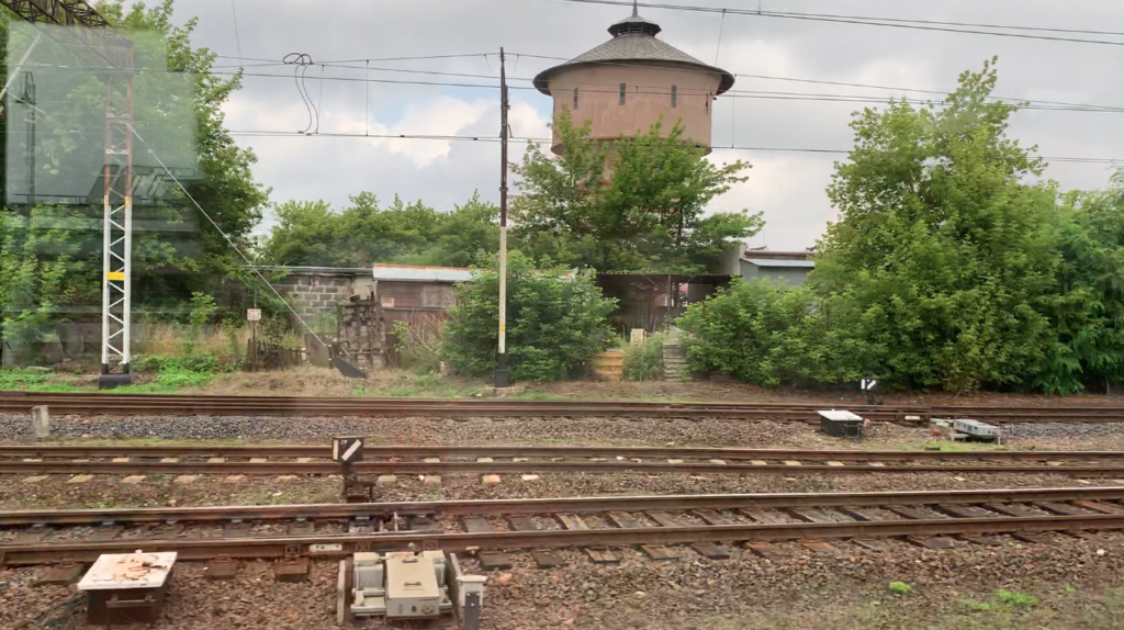
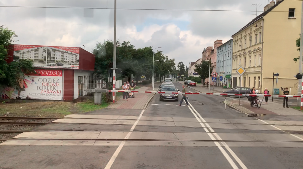
Nowa Sól had a small locomotive shed with two berths. There was no turntable. During World War II, the shed was destroyed and burned down. It was not rebuilt. There were coal entanglements and a cleaning pit. The coaling station was closed around 2002 as part of the station cleanup. At that time, the unused wagon scale was dismantled. In 2007, the unused warehouse building was demolished. The water tower, fenced off and located on private property, remains to this day (2022). The water tower stands on Długa Street, near the intersection with Wojska Polskiego Street and the crossing onto Wojska Polskiego Street. The tower was built in 1909 and has a 50 m³ water tank.
During the electrification of the Wrocław-Szczecin railway line, shape signals were replaced with light signals, but only on the main tracks. Additional tracks and sidings continued to have shape signals. After 2013, shape signals were completely replaced with light signals.
As part of a thorough modernization of the station in 2012-2013, Platform 3, which once served passenger trains to Kożuchów, Żagań, and Wolsztyn, was demolished. Platform 3 was an island platform, but only one edge was in use. There was a barrier on the other side. This platform also had a roof, but it was shorter than on Platform 2.
Nowa Sól Station underwent its last major renovation between 2016 and 2020. The renovation affected the station and the entire station infrastructure. The station was renovated and modernized. It has been adapted to the needs of disabled people and parents with small children and strollers. The square in front of the station has also been improved. A roundabout was constructed opposite the station, connecting Towarowa and Zjednoczenia Streets. The streets have been renovated. The station houses a Municipal Police station.
Platform 1 is 200 meters long and has a height of 0.55 meters above the railhead. Platform 2, an island platform, is 300 m long and has a height of 0.55 m above the railhead. The roof over the platform is 120 m long. Access to Platform 2 is via an underpass. A passage at the level of the railway tracks is provided for disabled passengers and passengers with large luggage or strollers. Located next to the railway station is the Passenger Service Center, a bus and minibus station with five bus stands. PolRegio and InterCity trains stop at the station. Thanks to the important “Nadodrzanki” railway line, the city has direct rail connections with Głogów, Zielona Góra, Wrocław, Legnica, Lubin, Szczecin, Kołobrzeg, Gliwice, Katowice, Kraków, Przemyśl, Poznań, and Warsaw. Until 2015, trains on this line had a speed limit of 70 km/h. Currently, it is 120 km/h. Traffic at the station is directed from two signal boxes: “NS” (northern station head, Wojska Polskiego Street) and “NS1” (southern station head).
Written by Karol Placha Hetman